
POST-MISSION

An intuitive QGIS plugin for survey data.
MISSION BRIEF
Visualization without the complexity
QRC's visualization tool QVZ is an intuitive QGIS plugin designed to streamline geospatial workflows by providing a simplified, mission-focused interface for viewing and analyzing survey data for post-mission processing. Rather than requiring users to navigate the full complexity of QGIS, QVZ presents only the tools needed to quickly visualize and interact with collected data.
SIMPLIFIED WORKFLOW
Three steps to a map
Drag and drop
Load survey files by dragging them straight into QVZ. No import wizard, no projection setup.
Auto-organize
The plugin imports, organizes, and georeferences the data, then displays it on the map.
Filter and read
Agile filtering and interactive inspection: operators start analyzing within seconds.

ON THE MAP
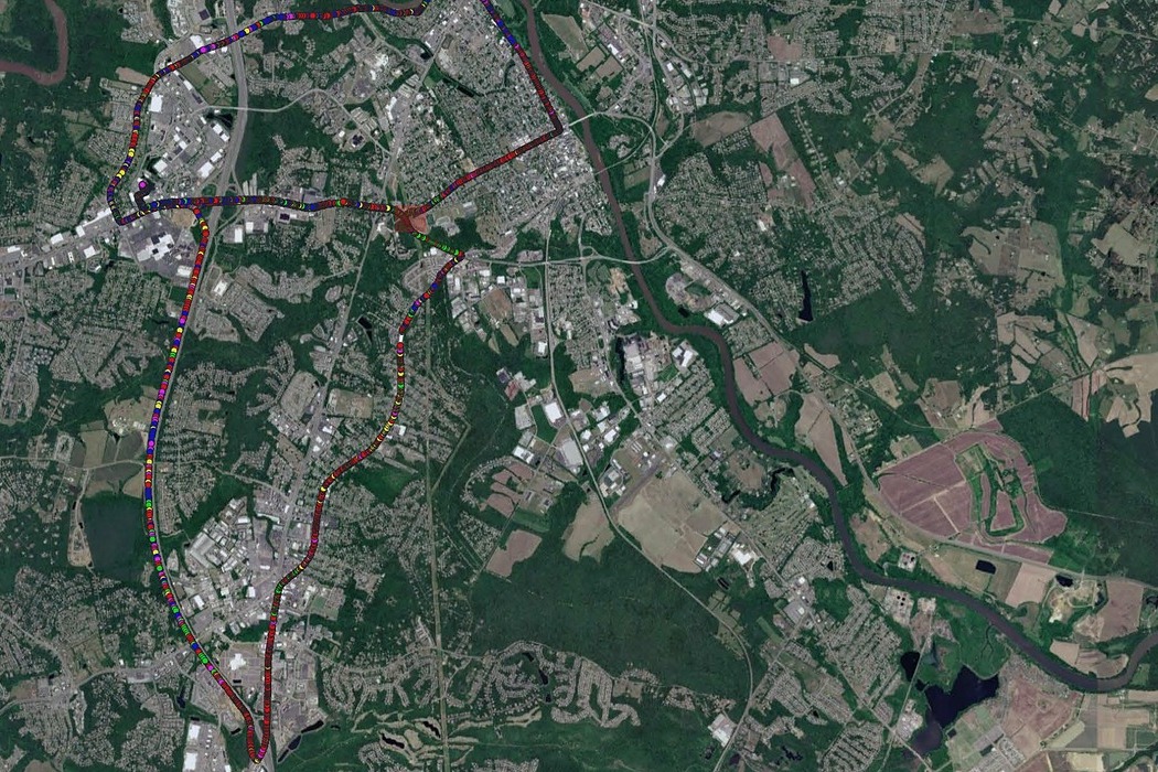
Instant survey results
Drag and drop survey files into QVZ and the plugin imports, organizes and displays them on the map. Operators of any experience level can start analyzing data within seconds, which cuts training time and speeds up decisions.
KEY FEATURES
Capabilities
- Drag-and-drop data import: load survey files by simply dragging them into QVZ.
- Simplified user interface: removes unnecessary GIS complexity while retaining powerful visualization capabilities.
- Rapid data visualization: instantly display survey results on an interactive map.
- Powered by QGIS: leverages the robust capabilities of the QGIS platform behind the scenes.
- Minimal training required: designed for operators, not GIS specialists.
- Custom workflows: tailored to your organization's data collection and analysis processes.
- Scalable architecture: supports future enhancements and additional survey types.
Built on the powerful QGIS platform, QVZ combines enterprise-grade GIS capabilities with
an operator-friendly experience, making advanced geospatial visualization accessible without requiring GIS
expertise.
RFQ CHANNEL OPEN
Put your survey data to work
Ask about QVZ with your ICS, Q-Fi, or BlueFly systems.